1.Network Visualization by location
I visualized the network with the data I have. Although the data can be analyzed, the latitude and longitude are very finely divided, making it difficult to analyze. There seems to be a need to unify latitude and longitude with standards.
*Incheon
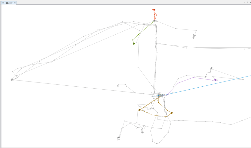
*Daejeon
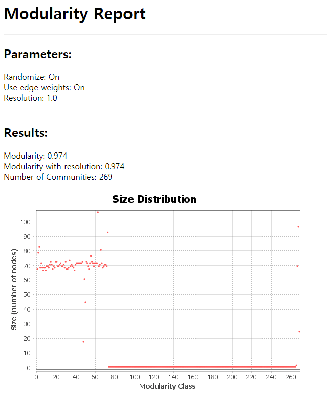
2. Modularity Analysis
The location data is so fragmented that there are too many modularity classes. There seems to be a need for standards to unify data.
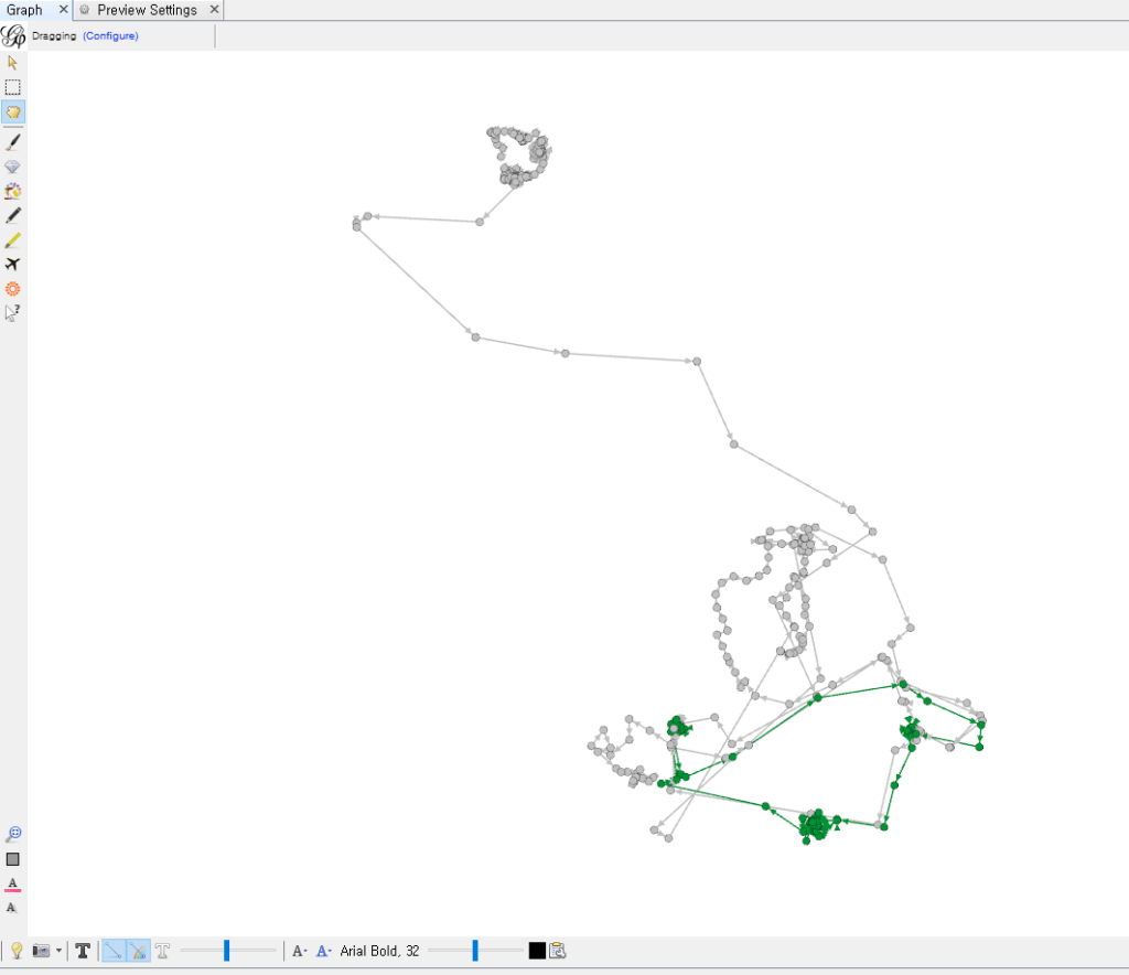
*Link
